QAnnotate - Raster Annotation
QAnnotate is the GeoAI suite extension dedicated to creating annotated datasets for model training. It supports the full workflow from raster preparation, manual or assisted annotation, to exporting datasets ready for QModel Trainer.
Objectives of QAnnotate
- Facilitate the creation and management of annotations on georeferenced rasters
- Provide a complete workflow fully integrated into QGIS
- Combine manual annotation and smart assistance tools to maximize productivity
- Export datasets compliant with GeoAI model training standards
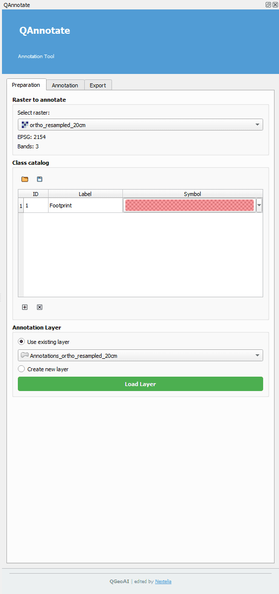
General Workflow
- Select the raster to annotate and configure the class catalog
- Perform manual or assisted annotation using semi-automated tools
- Edit and manage created annotations in a centralized way
- Export optimized datasets ready for GeoAI model training
Design and Philosophy
- Interface consistent with the rest of the GeoAI suite
- Guided and flexible workflow suitable for all user levels
- Clear separation between preparation, annotation, and export
- Tools designed to maximize annotation accuracy and reproducibility
QAnnotate is the essential link for transforming raw rasters into annotated datasets ready for training, while maintaining full control over annotation quality and structure.